9.4 km | 12.8 km-effort
vivvod
© OpenStreetMap contributors
Walking
2h36
Difficulty : Medium
Length
7.7 km
Max alt
566 m
Uphill gradient
287 m
Km-Effort
11.5 km
Min alt
368 m
Downhill gradient
285 m
Boucle
Yes
Creation date :
2022-02-01 08:54:43.396
Updated on :
2022-02-01 11:31:24.395
2h36
Difficulty : Medium
FREE GPS app for hiking
About
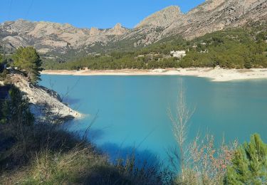
Trail Walking of 7.7 km to be discovered at Valencian Community, Alacant / Alicante, el Castell de Guadalest. This trail is proposed by andre.forthomme@gmail.com.
Description
superbe randonnee
Positioning
Country:
Spain
Region :
Valencian Community
Department/Province :
Alacant / Alicante
Municipality :
el Castell de Guadalest
Location:
Unknown
Start:(Dec)
Start:(UTM)
744200 ; 4284882 (30S) N.
Comments
Trails nearby
lac de guadalest
Walking
Difficult
el Castell de Guadalest,
Valencian Community,
Alacant / Alicante,
Spain
2h 15min
Yes